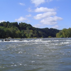
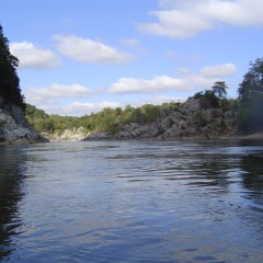
Oct 8th 2006Little Falls Water Level Gauge: ~4,500 ft3/s / ~3.4 feet |
|
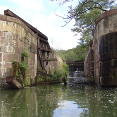
C.O. Canal above Lock 10: 8:12 AM (Aerial Location) |
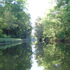
C.O. Canal above Lock 10: 8:32 AM |
C.O. Canal near Billy Goat B: 8:41 AM |
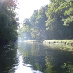
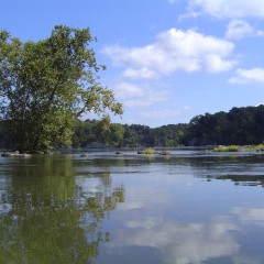
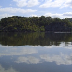
Widewater: 9:21 AM (Aerial Location) |
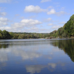
Widewater: 9:12 AM (Aerial Location) |
Above Calico Rapids: 10:57 AM (Aerial Location) |
Widewater: 9:27 AM (Aerial Location) |
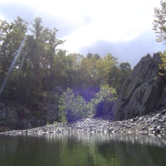
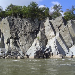
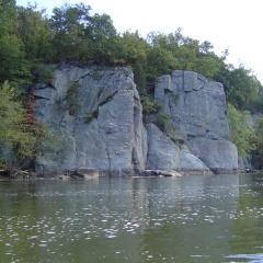
Cool Rock Formation: 10:54 AM (Aerial Location) |
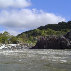
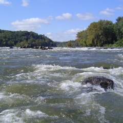
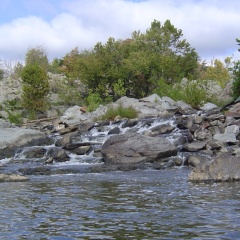
Calico Rapids: 11:05 AM |
Down at Rocky Islands: 9:42 AM (Aerial Location) |
Rocky Islands, Right Chute: 9:50 AM |
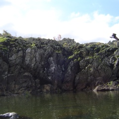
Rocky Islands: 9:53 AM |
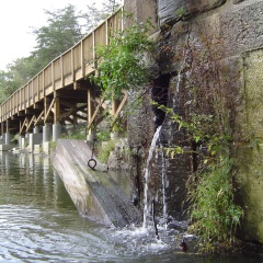
Fishladder: 10:01 AM (Aerial Location) |
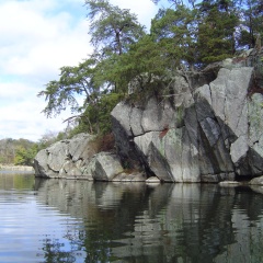
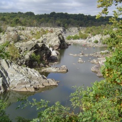
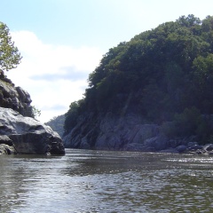
Mather Gorge: 10:06 AM |
Mather Gorge/Wet Bottom: 10:14 AM |
Mather Gorge/Wet Bottom: 10:14 AM |
Cow-Hoof & Purple Horse Beach: 10:28 AM |
Vaso Island: 11:08 AM |
Vaso Island: 11:11 AM (Aerial Location) |
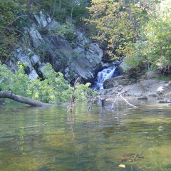
Scotts Run Falls: 11:19 AM (Aerial Location) |
Stubblefield: 11:35 AM (Aerial Location) |
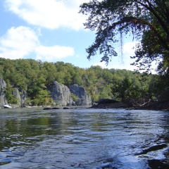
Widewater (Aerial Location) |
Widewater (Aerial Location) |
Mather Gorge near Jumps |
Fish Ladder (Aerial Location) |
Near Angler's Inn Put-Inn |
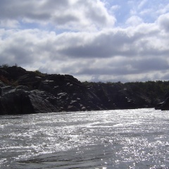
Mather Gorge |