Sept 10th 2006Little Falls Water Level Gauge: ~7,000 ft3/s / ~3.6 feet |
|
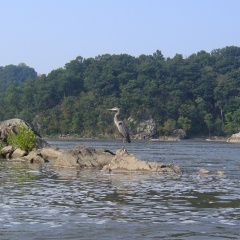
Heron at Skull Island: 8:31 AM (Aerial Location) |
Above Cow-Hoof Rock 9:50 AM (Aerial Location) |
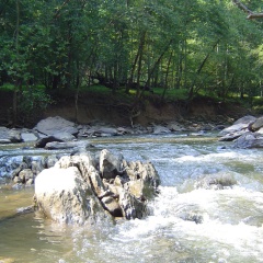
Out of Difficult Run Creek: 10:06 AM (Aerial Location) |
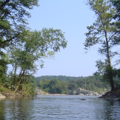
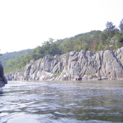
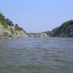
Mather Gorge above Purple Horse: 9:15 AM |
Mather Gorge / Wet Bottom 9:23 AM (Aerial Location) |
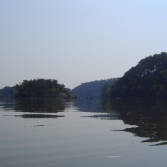
Next to Offut Island: 10:25 AM |
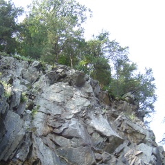
Looking up Difficult Run: 10:05 AM (Aerial Location) |
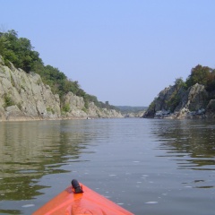
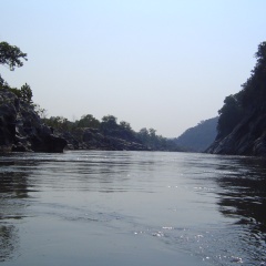
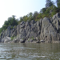
Mather Gorge: 9:19 AM (Aerial Location) |
Mather Gorge: 9:33 AM (Aerial Location) |
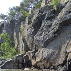
Mather Gorge: 9:34 AM |
Mather Gorge: 9:40 AM (Aerial Location) |
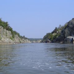
Mather Gorge: 9:41 AM (Aerial Location) |